• Post Falls Dam

  • Photographed by Tom Holman

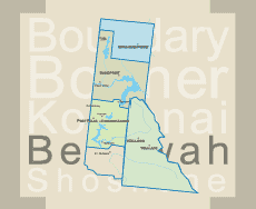
Plowboy Mountain Trail #295 (Priest Lake) 
LENGTH: 6 miles
SKILL LEVEL: Moderate to Difficult (uphill Plowboy is fairly steep; the rest moderate)
SEASON: May to October

Plowboy Mountain Trail #295
 
This trail offers so much beauty in terrain and scenic views of Upper Priest Lake. This trail is very steep.

Directions:

1) At Nordman turn east onto Reeder Bay Road. Stay on the main road approx. 14 miles to Beaver Creek Campground. veer left on Forest Service Rd. #1341. Trailhead is approx. 2½ miles on your right.

2) Trail can also be reached via Navigation Trail #291.

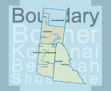
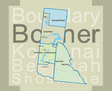
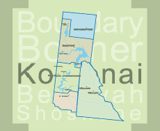
The trail number refers to the numbering system developed by the Priest Lake Ranger District on the west side of the lake.

Print Email

Quartz View Trail #179
LENGTH: 6 miles (one way)
SKILL LEVEL: Moderate to Difficult
SEASON: May to October

Quartz View Trail #179
 
Part of the Peewee/Steep Creek trail system. The trail system is a series of interconnected loops and each trail can be accessed from several different points. Some loops gain elevations that view the Priest & Pend Orielle River Valleys. Some sections are located on the old road bed while others are steep and rocky.

Directions:

Approx. 3.5 miles up Hwy 57 turn onto the Pennisula Road. Travel approx. 4 miles. Turn left on Forest Service Rd. #334 (Gleason-McAbee Falls Rd.), which is right before the Green Owl Tavern and continue 1 mile. Trailhead is located past the gravel pit on the left.


Print Email

Upper Priest River Trail #308
LENGTH: 9.2 miles (one way)
SKILL LEVEL: easy
SEASON: Late June to October

Upper Priest River Trail #308

This is a very scenic trail and receives heavy use. It is an easy hike and offers excellent views of old growth cedar and lush river bottom vegetation. The length of this trail follows along the Upper Priest River and ends at the junction of Continental Creek Trail #28 which continues on to the Upper Priest River Falls also know as the American Falls.
 
Directions:

North on Hwy 57, Hwy 57 turns into graveled Forest Service Rd. #302 approx. 4 miles past Nordman. Travel north on Rd. #302 approx. 11 miles, until it turns to Rd. #1013 at the Granite Pass junction. Travel Rd. #1013 north approx. 11½ miles. Trailhead is located on the left side. Ample stock trailer parking is available on both sides of the road.


Print Email

John Wayne Trail #176
LENGTH: 2.9 miles (one way)
SKILL LEVEL: Intermediate to Difficult
SEASON: Late June to October

John Wayne Trail #176

Open to ATVs. Part of the Peewee/Steep Creek trail system. Trail system is a series of interconnected loops and each trail can be accessed from several different points. Some loops gain elevations that view the Priest & Pend Orielle River Valleys. Some sections are located on the old road bed while others are steep and rocky.

Directions:

Hwy 57, across from the Falls Inn Travern 8.7 miles up turn onto the Peterson Road and travel approx. 2 miles. Trailhead is located on the left hand side, with limited parking available on the opposite side of the road in a pullout.


Print Email