Upper Priest River Trail #308
LENGTH: 9.2 miles (one way)
SKILL LEVEL: easy
SEASON: Late June to October
Upper Priest River Trail #308
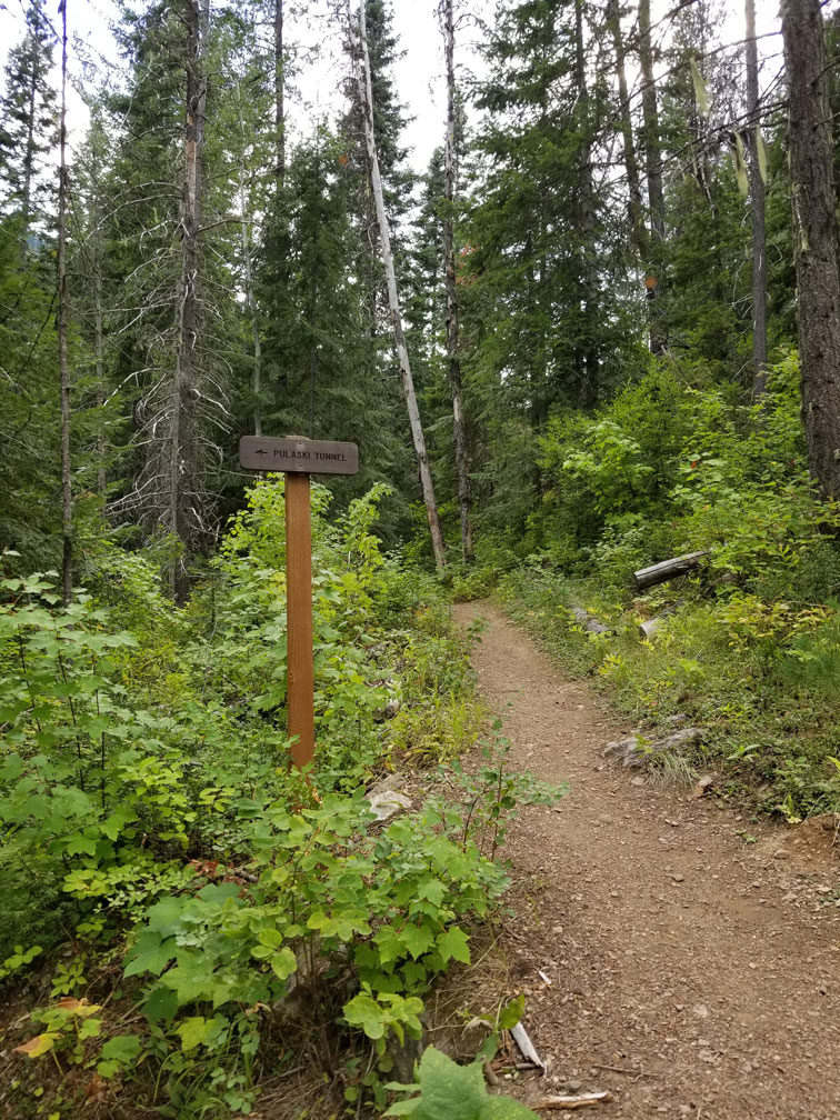
This is a very scenic trail and receives heavy use. It is an easy hike and offers excellent views of old growth cedar and lush river bottom vegetation. The length of this trail follows along the Upper Priest River and ends at the junction of Continental Creek Trail #28 which continues on to the Upper Priest River Falls also know as the American Falls.
Directions:
North on Hwy 57, Hwy 57 turns into graveled Forest Service Rd. #302 approx. 4 miles past Nordman. Travel north on Rd. #302 approx. 11 miles, until it turns to Rd. #1013 at the Granite Pass junction. Travel Rd. #1013 north approx. 11½ miles. Trailhead is located on the left side. Ample stock trailer parking is available on both sides of the road.
