• Post Falls Dam

  • Photographed by Tom Holman

A booming logging town in the 1920s, Priest River is nestled in the Selkirk Mountain Range & bordered by the Priest River on the east and the Pend Oreille River on the south. Residents are mighty proud of their small town community featuring plenty of recreational opportunities for outdoor enthusiasts. Glance up at the dates on the buildings to get a feel for the town’s heritage. For a great place to stop for a rest don’t let the name Mudhole mislead you. This full-service recreation area located at the intersection of the Pend Oreille and Priest Rivers includes a boat launch, swimming, picnic area, and RV/campground facilities. It’s just one of many beautiful scenic spots in and around Priest River.

Things To Do On and Around Priest River

    Priest River Museum and Timber Education Center
    The Beardmore Building
    Priest Lake Golf Course
    Albeni Falls Dam
    Priest River Museum
    Ranch Club Golf Course
    Riley Creek Recreation Area


Print Email

Hunt for huckleberries, troll for fish, hike or snowshoe to an upper lake under a dense cedar hemlock canopy or relax on a sandy beach. Priest Lake State Park has everything.

Just 30 miles from the Canadian Border, nestled deep below the crest of the Selkirk Mountains lies Priest Lake State Park.

Surrounded by the natural beauty of Northern Idaho and mile-high mountains, Priest Lake State Park sits along the eastern shores of Priest Lake, a 19-mile, 300+ foot deep lake.

Visitors to the park will enjoy the dense forests of cedar, fir and tamarack and will be able to observe the parks year round inhabitants such as the whitetail deer, black bear, moose and osprey.

Noted for its extremely clear water, fed by streams cascading from the high Selkirk peaks, the main body of Priest Lake extends north-south 19 miles and is connected by a 2 mile thoroughfare “The Thoroughfare.”to the remote Upper Priest Lake, accessible only by foot or boat., an ideal playground for kayakers and canoeist. There are numerous camping facilities available through the USFS and Idaho State Parks.

Since the time of the original Indian settlers and the Jesuit Priests of the 1800s, Priest Lake has offered a diversity of activities, and todays park visitors can enjoy many interests ranging from boating and fishing to snowmobiling and cross-country skiing.

Contact the Priest Lake Ranger Station at (208) 443-2562 for reservations.


Print Email

The 2013 spring/summer marketing campaign from the Idaho Department of Commerce Division of Tourism, entitled My ID, will invite visitors to place themselves and friends and family in seven online adventure videos about Idaho. Building on a successful campaign launched last year, My ID is designed to showcase the state’s scenic beauty and abundant outdoor activity options in a fun and interactive way. Idaho Tourism teamed up with PixFusion to create the videos, utilizing innovative photo-personalized technology. Four videos are currently available, including “The Adventurers,” spy mystery “Agent 208,” family RV trip “Are We There Yet?” and the romantic “Adventures in Loving.” Once created, videos can be shared through email, Facebook and Twitter. Participants may also put themselves into eight customizable postcards. “This is an innovative, interactive way to share some of the great vacation possibilities in our state,” says Karen Ballard, chief tourism officer for Idaho Commerce’s Division of Tourism. “The videos let friends and family see how fun an Idaho vacation can be. We’re excited to combine PixFusion’s interactive elements to showcase the scenery and activities that make Idaho special.” The My ID campaign also includes an online sweepstakes that will run through Sept. 5, with giveaways announced each Friday. Visitors may enter online for prizes such as overnight stays, whitewater rafting trips, attraction passes and more.


Print Email

Moyie River Canyon Bridge
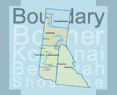
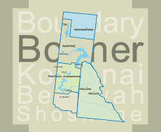
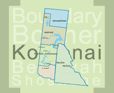
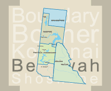
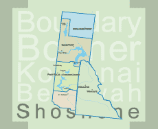
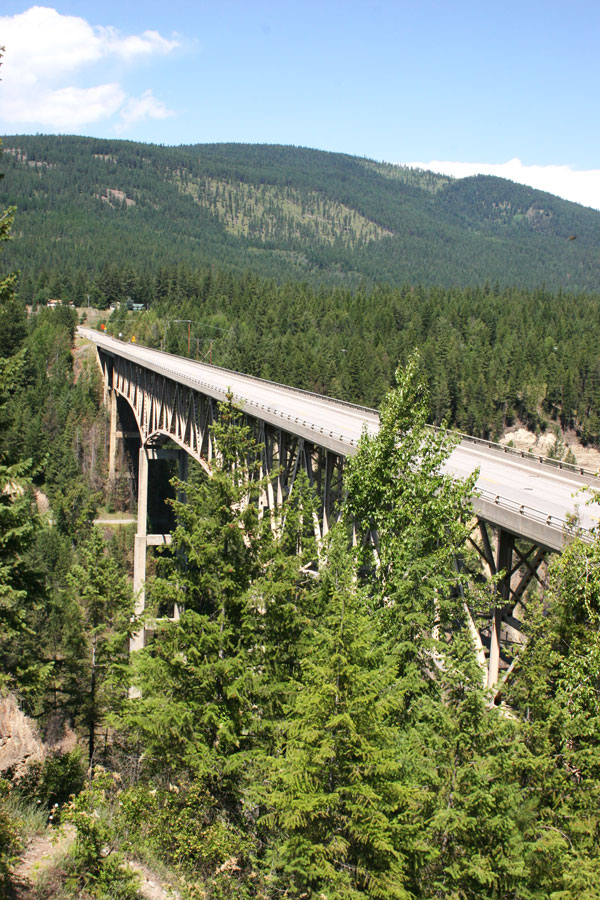
Moyie Springs is located in Boundary County, Idaho, United States near the confluence of the Moyie and Kootenai rivers.

The Moyie River Canyon Bridge is a structural steel truss cantilever bridge at mile marker 70 on U.S. Route 2 spanning the Moyie River near Bonners Ferry. It was constructed in 1965 and it is 1,223-foot (373 m) long and 424 feet (129 m) high. The current bridge replaced an obsolete bridge built in 1923, directly downstream from the municipally owned Moyie Dam.

The bridge is the second highest in Idaho, exceeded only by the 476-foot (145 m) high Perrine Bridge

 The population was 718 at the 2010 census.


Print Email